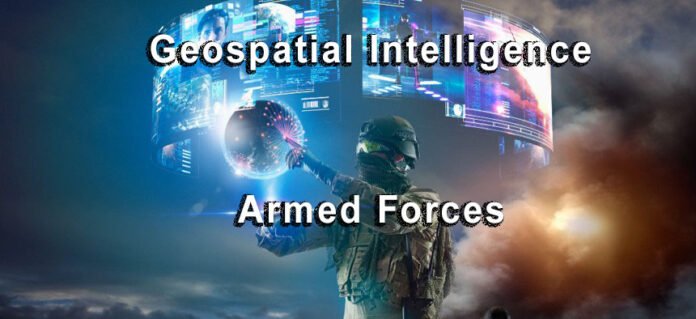
First, let’s look into what’s Geospatial Intelligence. Geospatial Intelligence (GEOINT) is a field of knowledge and process that involves the collection, analysis, and presentation of geographically referenced information. This information is used to describe, assess, and visually depict physical features and geographically referenced activities on the Earth. GEOINT combines the disciplines of imagery, imagery intelligence, and geographic information system (GIS) capabilities to create a detailed understanding of the physical environment and human activities.
Key Aspects of Geospatial Intelligence:
- Imagery and Imagery Analysis: This involves the use of satellite and aerial imagery to gather information about the Earth’s surface. Analysts interpret this imagery to understand geographic features, track changes over time, and detect activities.
- GIS and Geospatial Data: GIS is a critical component of GEOINT, as it enables the visualization, analysis, and interpretation of data to understand relationships, patterns, and trends. Geospatial data includes a wide range of information such as maps, graphs, and statistics related to geographic locations.
- Spatial Thinking: Geospatial Intelligence requires spatial thinking to understand and solve complex problems related to physical spaces and locations. It involves the ability to visualize spatial patterns and understand the geographic context of events and phenomena.
- Application in Various Domains: GEOINT is used in numerous fields including military and defense, environmental monitoring, urban planning, emergency response, and intelligence gathering. It supports decision-making by providing critical insights into the geographical and environmental aspects of a situation.
- Technological Integration: The field of GEOINT has grown with technological advancements, integrating tools like remote sensing, GPS, and advanced computing for more precise and accurate data analysis.
The integration of Artificial Intelligence (AI) and Geospatial Intelligence (GeoAI) in the armed forces represents a monumental shift in military strategy, operations, and intelligence. This essay explores how these technologies are revolutionizing various aspects of military operations, enhancing capabilities, and providing a significant edge in modern warfare.

Ai and Geospatial Intelligence: A powerful force combind.
The armed forces are increasingly reliant on advanced technologies to maintain a strategic advantage. AI and GeoAI are at the forefront of this technological revolution, offering unparalleled capabilities in data processing, analysis, and decision-making.
Historical Context
Historically, military intelligence relied heavily on human reconnaissance and basic technological tools. The advent of advanced computing and satellite technologies marked a significant shift, but the integration of AI has accelerated the pace of change, enabling the processing of vast amounts of geospatial data at unprecedented speeds.
AI and GeoAI in Military Strategy
- Predictive Analysis: AI algorithms can analyze historical and current geospatial data to predict future scenarios. This capability is vital for strategic planning, allowing the armed forces to anticipate enemy movements, identify potential threats, and prepare for various contingencies.
- Enhanced Surveillance and Reconnaissance: AI-driven tools can process data from drones, satellites, and other reconnaissance sources to provide real-time, accurate battlefield intelligence. This capability is crucial for maintaining situational awareness and making informed tactical decisions.
- Automated Threat Detection: AI systems can automatically detect and classify objects of interest from vast amounts of imagery, significantly reducing the workload on analysts and increasing the speed and accuracy of threat identification.
Operational Advantages
- Improved Decision Making: The integration of AI and GeoAI assists commanders in making faster, more informed decisions by providing them with comprehensive battlefield intelligence.
- Efficiency in Logistics and Supply Chain Management: AI can optimize logistics, manage supply chains, and ensure efficient resource allocation, crucial for maintaining operational readiness.
- Enhanced Cybersecurity: AI algorithms play a crucial role in cybersecurity, protecting sensitive military networks and systems from cyber threats.
Training and Simulation
- Advanced Training Simulations: AI-driven simulations offer realistic training environments, enabling soldiers to hone their skills in various combat scenarios without the risks associated with live training exercises.
- Data-Driven Personnel Development: AI systems can analyze performance data to identify training needs, optimize training programs, and develop strategies for personnel development.
Challenges and Ethical Considerations
- Reliability and Trust: The reliability of AI systems in high-stakes military operations is a significant concern. Establishing trust in AI-driven decisions is crucial for their effective integration into military strategy.
- Ethical Implications: The use of AI in armed forces raises ethical questions, particularly regarding autonomous weapons systems. The development and deployment of such systems must consider ethical guidelines and international laws.
Case Studies
- U.S. Army Corps of Engineers: The Corps uses AI and GeoAI for project planning, analyzing millions of vessel tracking pings to optimize shipping routes and dredging operations.
- Defense and Intelligence Agencies: These agencies leverage GeoAI for tasks such as monitoring geopolitical developments, assessing environmental changes, and conducting strategic reconnaissance.
The Future of AI and GeoAI in Armed Forces
The future of AI and GeoAI in the armed forces looks promising, with ongoing advancements in machine learning, neural networks, and computing power. These technologies are expected to become even more integrated into various aspects of military operations, from tactical engagements to strategic planning.
Ai and GeoAi heading into the future with the Armed Forces
AI and GeoAI are transforming the armed forces into more efficient, effective, and intelligent entities. By enhancing capabilities across a wide range of operations, these technologies provide the armed forces with critical tools needed to address modern warfare’s complex and dynamic challenges. As AI continues to evolve, its role in military strategy and operations is set to grow, offering new opportunities and challenges in the pursuit of national security and defense objectives.
Peter Jonathan Wilcheck
Co-editor / Tech News Contributor
Geospatial Intelligence Technology
Online Tech News www.onlinetechnews.com
Post Disclaimer
The information provided in our posts or blogs are for educational and informative purposes only. We do not guarantee the accuracy, completeness or suitability of the information. We do not provide financial or investment advice. Readers should always seek professional advice before making any financial or investment decisions based on the information provided in our content. We will not be held responsible for any losses, damages or consequences that may arise from relying on the information provided in our content.


